
WebGIS में Khasra Overlay और Map Layers कैसे समझें?
WebGIS Khasra overlay — map layers enable, missing layer और faint boundary fixes
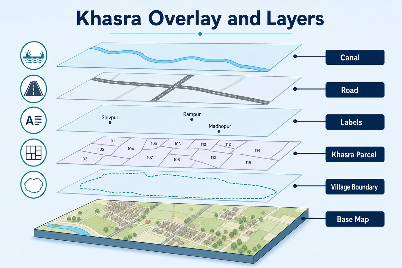
WebGIS की सबसे useful capability अलग-अलग information को layers के रूप में दिखाना है। Base map जमीन का background देता है, जबकि overlay उसके ऊपर Khasra boundary, labels, road, canal या Village limit जैसी information दिखा सकता है।
Layers को सही तरीके से use करने पर map readable बनता है; बहुत सारी layers एक साथ on करने पर map confusing या slow हो सकता है।
Complete WebGIS navigation के लिए WebGIS MP Bhulekh guide देखें। यह page Khasra overlay और map layers पर focused है।
महत्वपूर्ण सूचना: MPBhulekh.app एक स्वतंत्र informational website है और Madhya Pradesh Government, Revenue Department, MP Online या किसी official WebGIS service से affiliated नहीं है। Online maps, screenshots और browser PDFs सामान्य reference हैं; इन्हें certified ownership, title या exact boundary proof न मानें। Property transaction, dispute, survey, registry, mutation या legal use के लिए संबंधित authority और qualified professionals से current records verify करें।
WebGIS Khasra Overlay और Map Layers
Search Intent: User WebGIS map खोल सकता है, लेकिन Khasra overlay, parcel layer, labels या boundary layers enable और समझ नहीं पा रहा। Primary keyword: WebGIS Khasra overlay।
नीचे base map vs overlay, important layers, enable steps, missing layer fixes और faint boundary solutions दिए गए हैं।
इस Guide में क्या मिलेगा?
सीधे संबंधित section पर जाने के लिए नीचे दिए links use करें।
Khasra Overlay और Map Layers क्या हैं?
WebGIS की सबसे useful capability अलग-अलग information को layers के रूप में दिखाना है। Base map जमीन का background देता है, जबकि overlay उसके ऊपर Khasra boundary, labels, road, canal या Village limit जैसी information दिखा सकता है। Layers को सही तरीके से use करने पर map readable बनता है; बहुत सारी layers एक साथ on करने पर map confusing या slow हो सकता है।
Complete WebGIS navigation के लिए WebGIS MP Bhulekh guide देखें।
Base Map और Overlay में अंतर
WebGIS map को समझने के लिए base map, overlay और legend के बीच अंतर जानना जरूरी है।
Base Map
Background geographic view
Examples: Plain map, street map, satellite imagery
Overlay
Base map के ऊपर additional information
Examples: Khasra parcels, labels, roads, canal, Village boundary
Legend
Colors और symbols का explanation
Examples: Parcel color, road line, water-body symbol
Important WebGIS Layers
WebGIS में अलग-अलग layers अलग-अलग purpose serve करती हैं। Purpose समझकर enable करने पर map readable और useful रहता है।
Khasra Parcel Layer
Individual land parcels और उनकी digital boundary दिखा सकती है। Plot selection और nearby parcel comparison में सबसे important layer है।
Khasra Label Layer
Parcel के ऊपर Khasra Number दिखाती है। बहुत कम zoom पर labels hide हो सकते हैं।
Village Boundary Layer
Selected Village की administrative limit दिखाती है। Similar Village names verify करने में useful है।
Road or Path Layer
Available map data के अनुसार road, approach path या transport line दिखा सकती है। यह legal right of way का proof नहीं है।
Canal and Water Layer
Canal, river, pond या अन्य water features दिखा सकती है। Seasonal और mapping differences possible हैं।
Administrative Boundary Layer
District, Tehsil या other jurisdiction boundaries दिखा सकती है।
Government or Public Land Layer
जहां data classified और available हो, public-use या government land markings दिख सकती हैं।
Satellite Base Map
Real-world imagery जैसा background दे सकता है, लेकिन parcel overlay से perfect alignment guaranteed नहीं है।
Label Layer
Village, road, feature या parcel names display कर सकती है।
Khasra Overlay कैसे Enable करें?
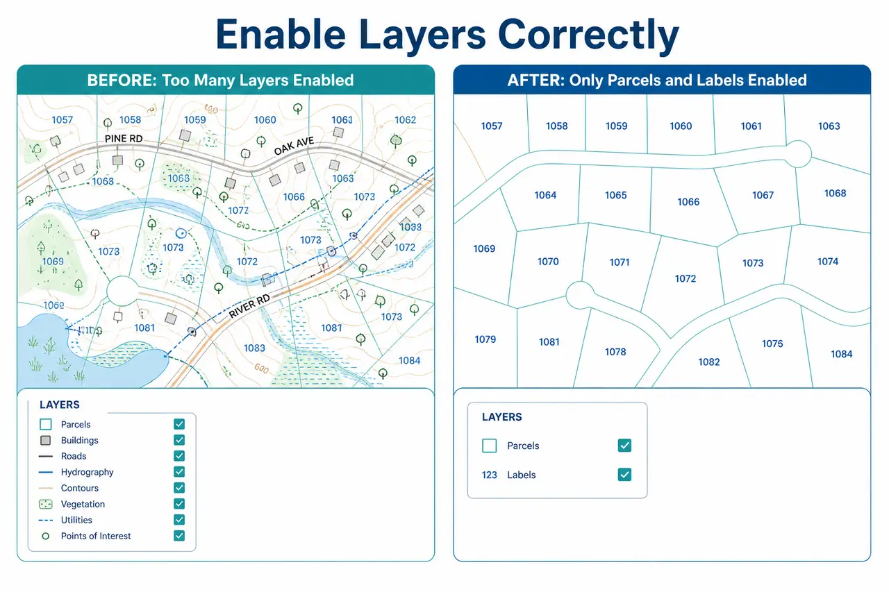
Khasra parcel और label layers enable करने के लिए इस क्रम से steps follow करें।
Map पूरी तरह load होने दें।
Layers, Map Contents या Legend panel खोलें।
Parcel, Cadastral, Khasra या Land Parcel नाम वाली layer खोजें।
Layer checkbox या toggle enable करें।
Khasra labels के लिए Labels या Parcel Number layer on करें।
धीरे-धीरे zoom करें; कुछ labels specific zoom level पर दिखते हैं।
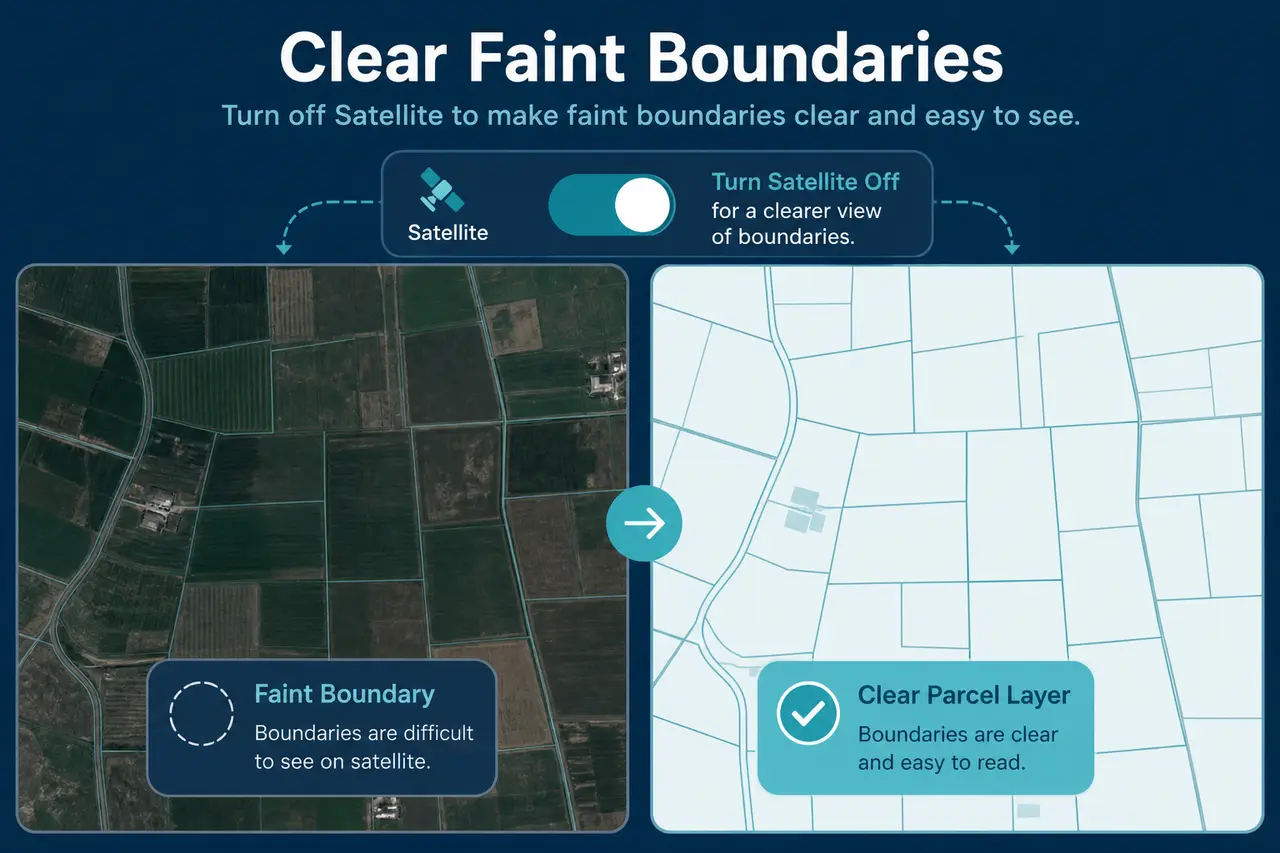
Satellite background बहुत dark हो तो plain base map चुनें।
Khasra Layer नहीं दिख रही तो क्या करें?
Khasra parcel layer visible न होने पर ये common reasons check करें। Parcel data unavailable होने पर MP Bhulekh Naksha guide देखें। Plot highlight issues के लिए plot highlight problem guide पढ़ें।
- •Selected Village का GIS parcel data available नहीं हो सकता।
- •Layer checkbox off हो सकता है।
- •Zoom level बहुत कम या बहुत ज्यादा हो सकता है।
- •Labels और parcel boundaries अलग layers में हो सकती हैं।
- •Browser ने vector layer render नहीं की हो सकती है।
- •Wrong Village या Tehsil selected हो सकती है।
- •Server response incomplete हो सकता है।
Faint Boundary को Clear कैसे करें?
Satellite imagery, multiple labels और overlapping layers के कारण parcel boundary faint लग सकती है। Satellite base temporarily off करें, unnecessary layers disable करें, parcel layer को priority दें और suitable zoom level चुनें। Transparency control available हो तो overlay opacity adjust करें।
Layers को किस Order में Use करें?
Map readable रखने और Khasra structure समझने के लिए इस recommended order follow करें।
Plain base map से शुरुआत करें।
Village boundary on करें।
Khasra parcel layer enable करें।
Khasra labels on करें।
Plot search या Identify tool use करें।
जरूरत होने पर road, canal या water layer add करें।
अंत में satellite base से real-world context compare करें।
Satellite और Parcel Overlay साथ देखने की सावधानियां
Satellite imagery और parcel boundaries अलग datasets हो सकते हैं। Capture date, map projection, georeferencing और digitization के कारण boundary line field edge, building या road से थोड़ी shifted दिखाई दे सकती है। इस visual difference को automatic encroachment न मानें।
Detail के लिए Satellite map और Khasra boundary difference guide पढ़ें।
Layer से क्या Confirm नहीं होता?
- ✕Legal ownership
- ✕Exact ground measurement
- ✕Encroachment
- ✕Legal road access
- ✕Registry validity
- ✕Current possession
- ✕Court dispute status
- ✕Construction approval
Conclusion
WebGIS को effectively use करने के लिए हर layer को एक साथ on करने के बजाय purpose के अनुसार enable करें। Khasra parcel और label layers से plot structure समझें, फिर road, canal या satellite base से context compare करें। किसी overlay को certified ownership या exact physical boundary proof न मानें।
Related Guides
आगे की जानकारी के लिए ये related guides उपयोगी हो सकती हैं।
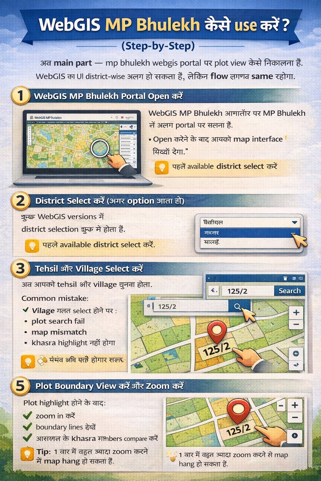
WebGIS MP Bhulekh Complete Guide
District–Tehsil–Village selection और basic Khasra search की पूरी प्रक्रिया।
Read Complete WebGIS Guide →Satellite vs Khasra Boundary
Satellite imagery और parcel boundary alignment difference समझें।
Compare Satellite and Boundary →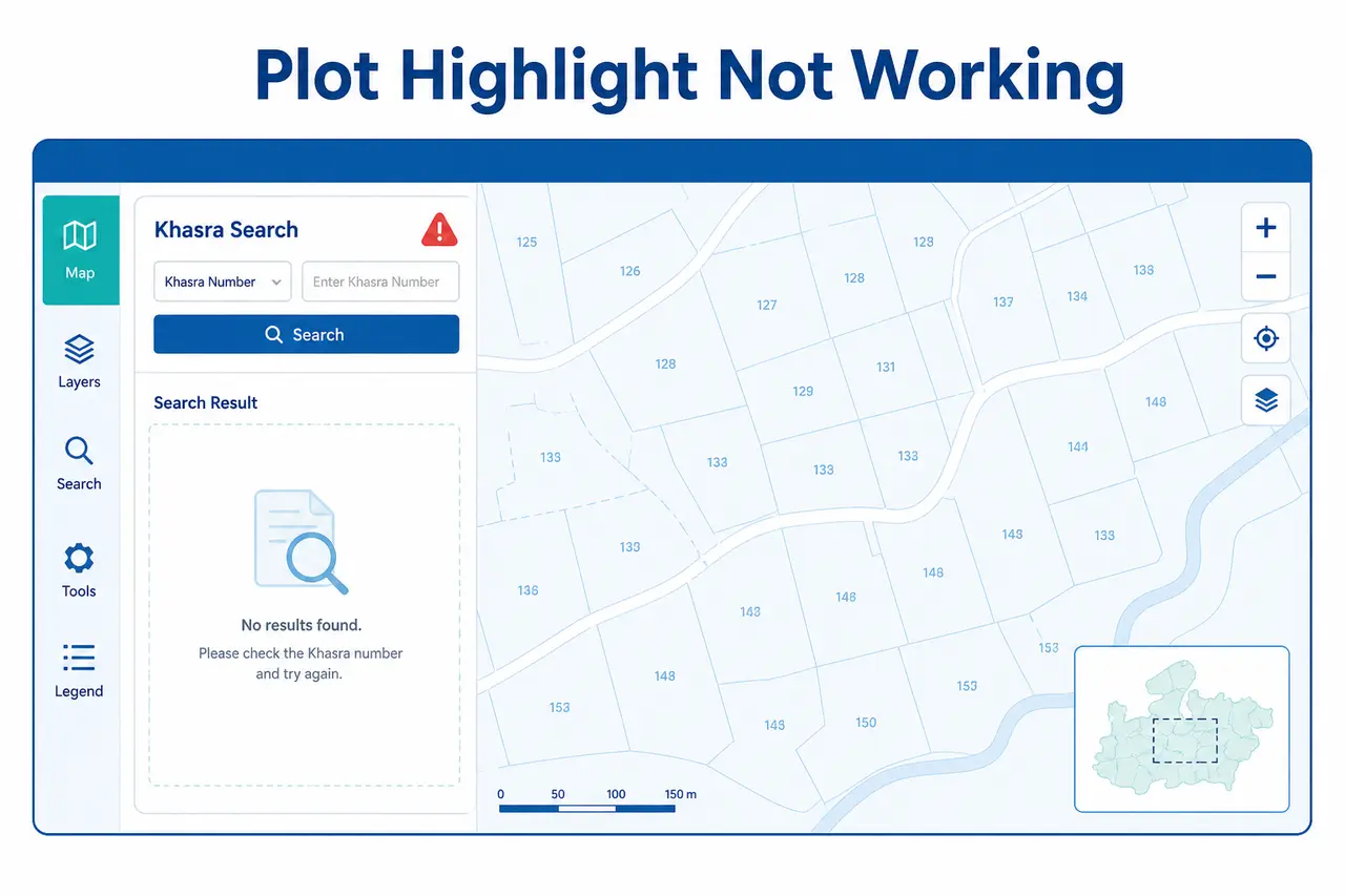
Plot Highlight Problem
Khasra search करने पर plot highlight नहीं हो रहा? Practical fixes देखें।
Fix Plot Highlight Issues →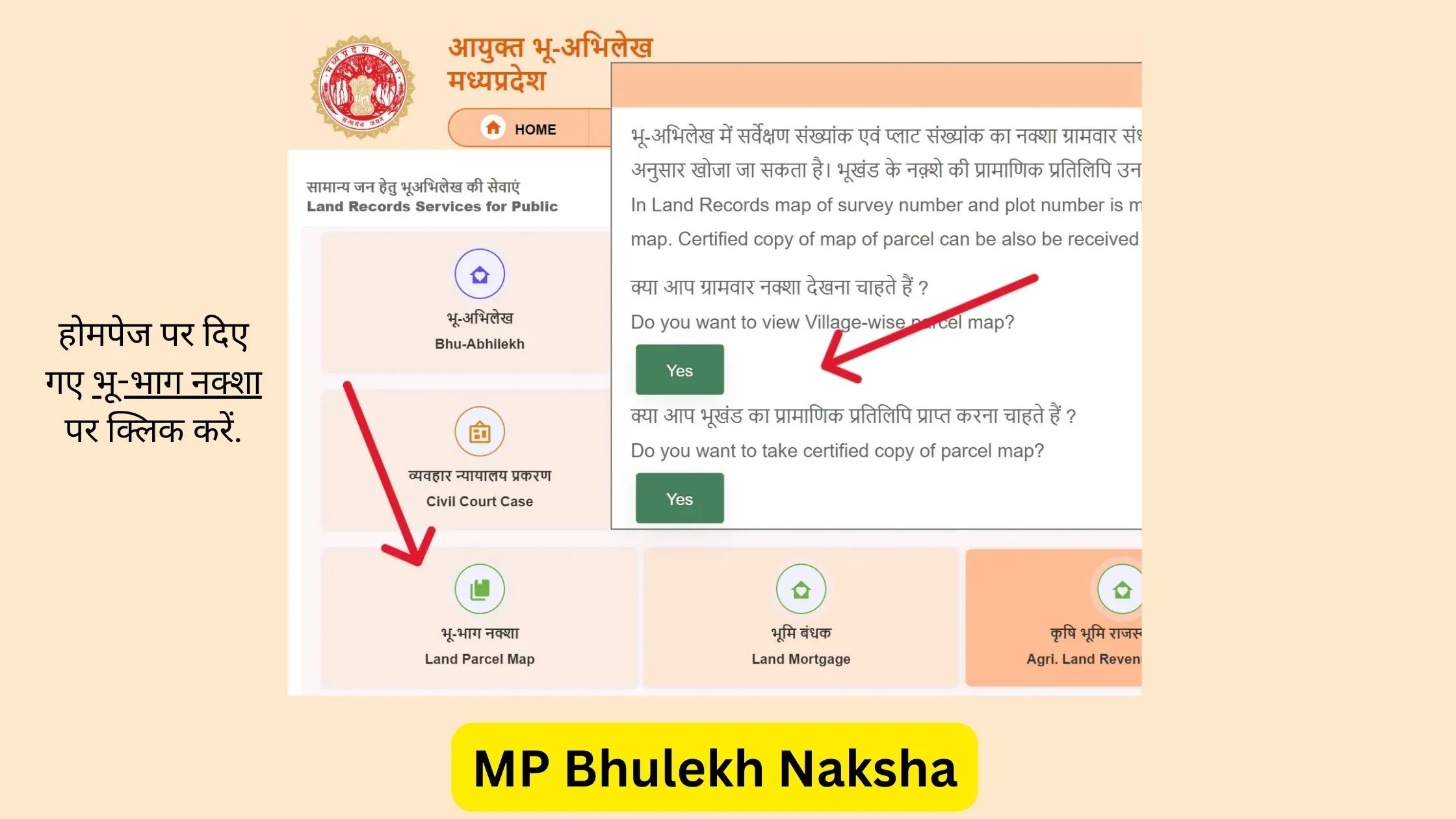
MP Bhulekh Naksha Guide
Parcel layers unavailable होने पर basic Village map देखें।
Read Naksha Guide →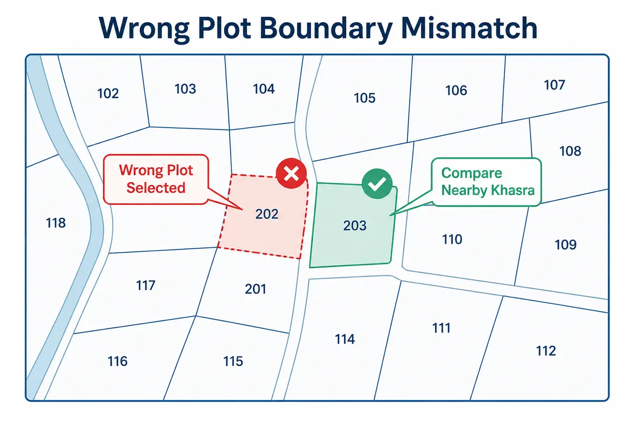
Wrong Plot और Boundary Mismatch
Map खुल रहा है लेकिन registry या ground से match नहीं कर रहा।
Check Boundary Mismatch Steps →Frequently Asked Questions
Khasra overlay और map layers से जुड़े common questions
MPBhulekh.app एक स्वतंत्र informational website है और Madhya Pradesh Government, Revenue Department, MP Online या किसी official WebGIS service से affiliated नहीं है। Online maps, screenshots और browser PDFs सामान्य reference हैं; इन्हें certified ownership, title या exact boundary proof न मानें। Property transaction, dispute, survey, registry, mutation या legal use के लिए संबंधित authority और qualified professionals से current records verify करें।
Last updated: 29 July 2026